Ordnance Survey maps
As its name suggests, Britain’s mapping agency has its roots in military strategy: mapping the Scottish Highlands following rebellion in 1745.
Later, as the French Revolution rumbled on the other side of the English Channel, there were real fears the bloodshed might sweep across to our shores.
So the government ordered its defence ministry of the time – the Board of Ordnance – to begin a survey of England’s vulnerable southern coasts. Until then, maps had lacked the detail required for moving troops and planning campaigns.
It was an innovative young engineer called William Roy who was tasked with the initial small-scale military survey of Scotland. He was only 21 at the time.
Starting in 1747, it took eight years to complete what was known as the Great Map at a scale of 1:36 000 (1.75 inches to a mile). Roads, hills, rivers, types of land cover and settlements were recorded.
William Roy’s surveying parties of about eight relied on simple surveying compasses to measure the angles, and chains up to 50 feet long to measure distance between important features. Much of the rest was sketched in by eye.
Nevertheless, the map was a powerful tool as part of a broader strategy to open up access to the Highlands.
His work paved the way for modern surveying and he understood the strategic importance of accurate maps. At the time of his death in 1790 his vision of a national survey for Britain was almost within reach.
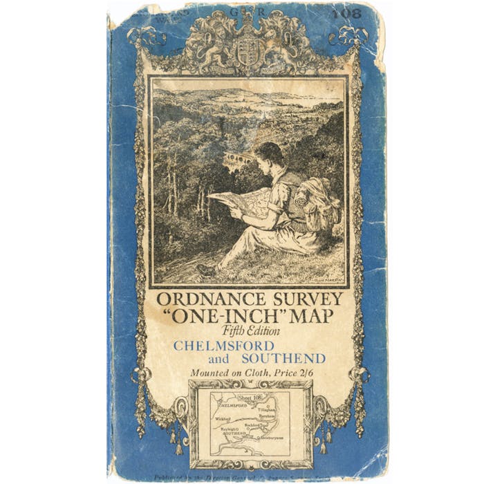
In 1801 the first one-inch-to-the-mile (1:63,360 scale) map was published, detailing the county of Kent, with Essex following shortly afterwards.
In the next 20 years about a third of England and Wales was mapped at the same scale under the direction of William Mudge. By 1840 the one-inch survey had covered all of Wales and all but the six northernmost counties of England.
It was thought that 50 years would be long enough to map the country, but the entire first series of maps wasn’t published until 1870.
The organisation remains fully owned by the UK government and retains many of the features of a public organisation.
Further reading
Links to external websites are not maintained by Bite Sized Britain. They are provided to give users access to additional information. Bite Sized Britain is not responsible for the content of these external websites.